Cartography & GIS: Accelerated/Non-Thesis
Master of Science in Cartography & Geographic Information Systems

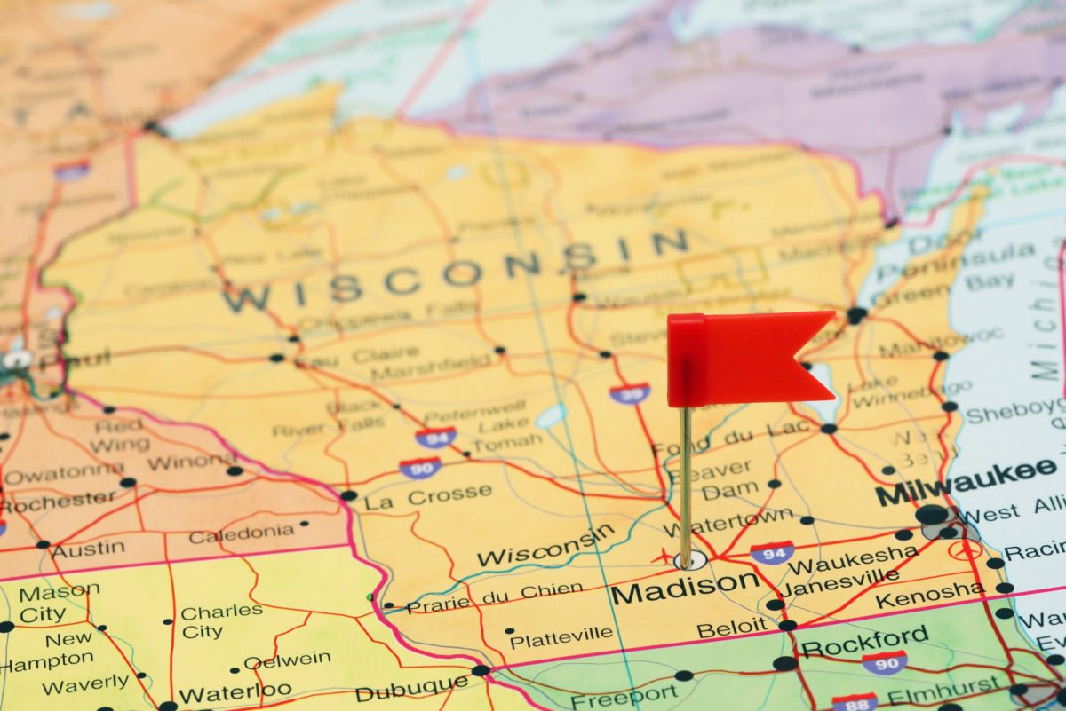
Study at the birthplace of American cartography. The UW–Madison Non-thesis Master of Science in Cartography and GIS is an immersive program that can be completed in as little as one year.
Is this program right for you?
The Non-thesis Master of Science in Cartography and Geographic Information Systems (GIS) from the University of Wisconsin–Madison is a new program offering you a Geographic Information Systems master’s degree at an accelerated pace. You can complete our program in as little as one year, half the time of our traditional master’s offering. Plus, instead of a thesis, you complete a culminating, project-based practicum course, integrating everything you’ve learned in the program with professional problems.
Our multidisciplinary program provides you with a variety of professional software development skills applicable in a variety of fields, including geography, engineering, data journalism, health care, and more. Our curriculum also allows you to pursue a number of different learning paths through courses in visualization, cartography, spatial analysis, and development.
The Cartography and GIS Accelerated/Non-thesis Master’s program is offered on campus through UW–Madison’s Department of Geography. You will be able to access on-campus resources, collaborate directly with faculty and staff, and enjoy guest speakers. Our highly interactive program also includes options to complete hands-on group and community engagement projects, as well as ample networking opportunities.
In one year you will go from GIS novice to expert. Learn to use GIS and visualization tools to identify and solve real-world spatial programs—and advance your career.
Admissions requirements
All applicants must:
- Have a bachelor’s degree from an accredited institution.
- Have completed one course in quantitative methods or statistics. Equivalent work experience will also be considered.
- Have a minimum undergraduate GPA of 3.0.
- Submit evidence of English language proficiency, if applicable. The required proficiency scores are: TOEFL IBT 92, PBT 580; or IELTS 7.0.
Application materials required:
- Online application
- Resume/CV
- Statement of interest
- Transcripts
- Two references
Program highlights
- Our GIS master’s program non-thesis option offers you a chance to complete a culminating, project-based practicum, integrating classroom theory with professional problems.
- You learn from the best: our GIS Program is world-renowned as a leader in geographic information technology and computer-generated mapping technologies.
- UW–Madison’s GIS master’s program is multidisciplinary, so you learn professional software development skills applicable in a variety of fields, including geography, engineering, data journalism, health care, and more.
How you'll learn
- Three semesters of full-time study on campus to earn your degree.
- Attend classes on campus from world-renowned Department of Geography professors with a long tradition of excellence in the field.
- In lieu of a traditional thesis, you complete an online GIS practicum, a project-based, professional development course that integrates your classroom knowledge with industry problems and processes.
Sample curriculum
4 Core Classes
- Introduction to Cartography
- Introduction to GIS
- Geocomputing
- GIS Practicum (online)
4 Electives
- Advanced Quantitative Methods
- Graphic Design in Cartography
- Spatial Databases
- Interactive Cartography & Geovisualization
- Spatial Web & Mobile Programming
- GIS Applications
- GIS & Spatial Analysis
- Advanced Geocomputing and Geospatial Big Data Analytics
- Special Topics in Geography
Job outlook
- GIS Analyst1
- GIS Specialist
- GIS Technician
- Cartographer
- GIS developer
- Government (Federal, state and regional)1
- Surveying, engineering and construction
- Utilities (Electrical, telecommunications)
- Academic
- Environment and natural resources
Source 1: Lightcast™ 2022 and alumni survey data.
Source 2: What Can You Do with a GIS Degree?
Ready to learn more about Cartography & GIS: Accelerated/Non-Thesis?
View the UW-Madison Guide
Stay in touch
Sign up to receive application tips and deadline reminders.
Connect with our enrollment coaches
Our friendly, knowledgeable enrollment coaches are here to answer your questions. Contact an enrollment coach to:
- Learn how to make this program work with your life/schedule
- Get help with your application
- Determine if financial aid is available
Visit with our coaches on campus or at an upcoming student fair in your area. Search student fairs & events.
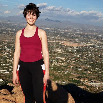
There are great opportunities to get involved in various groups and labs on campus that do GIS and cartography work. I worked in the UW Cartography Lab (in the geography department) and the Applied Population Lab (in community & environmental sociology), and I loved every minute of getting to work and becomes friends with such talented people.
Melanie Kohls, Accelerated Masters in GIS and Cartography